Philadelphia Flood Monitoring Map
August 31, 2026A few months ago, the City of Philadelphia Office of Emergency Management launched the Flood Monitoring Map project. This project is designed to help monitor flooding throughout the city.
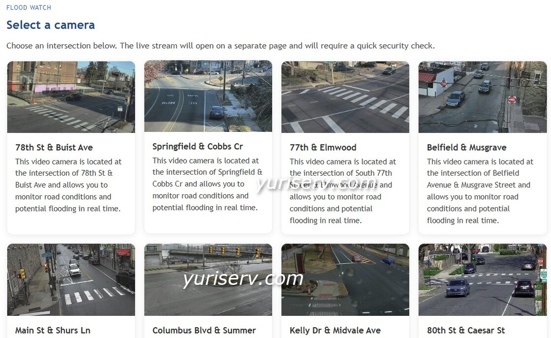
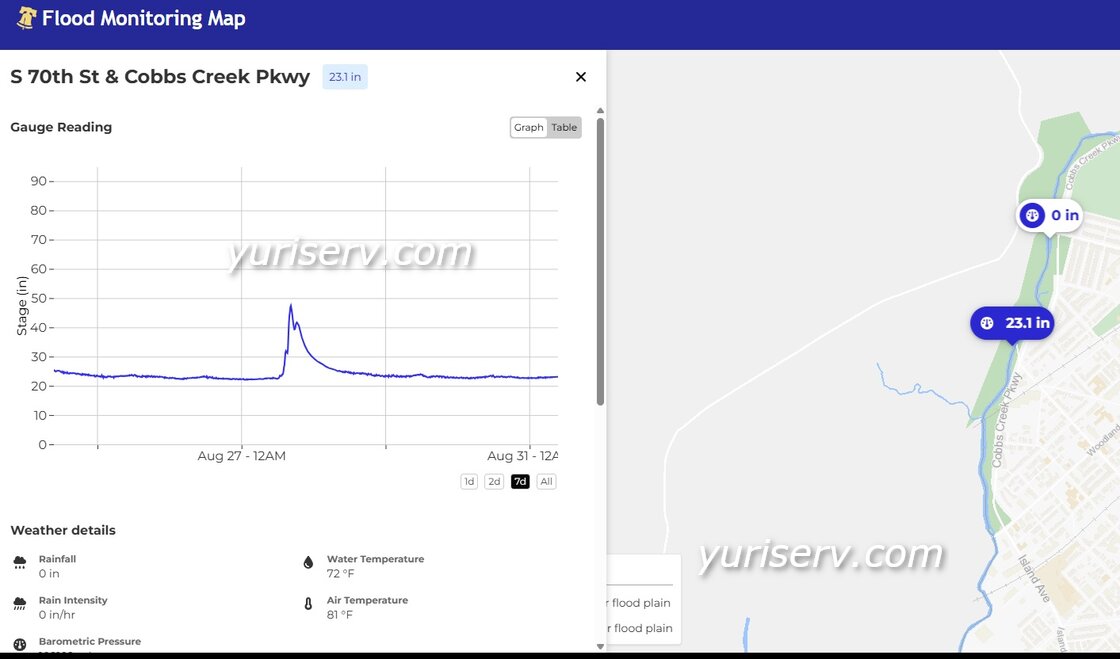
As part of the project, the City made live views from some of its security cameras located in areas that are frequently affected by flooding available to the public. The project also uses special sensors that monitor water levels in local waterways and collect other environmental data.
According to Google, the project is currently available through two websites. The official City of Philadelphia resource, Flood Monitoring Map, provides an interactive map where you can view camera images and real-time information from monitoring sensors. More camera feeds are available on oemstream.online web site.
If you live in an area that is frequently affected by flooding, or if you are planning to travel through such an area during heavy rain, the information provided by these resources may be very useful.
If you would like to stream video from your own security cameras over the Internet, please contact us using our contact form. We can develop and implement a similar solution tailored to your needs.
More articles on this topic:
Live Streaming From an IP Security Camera